Kythira Wind Turbines Information
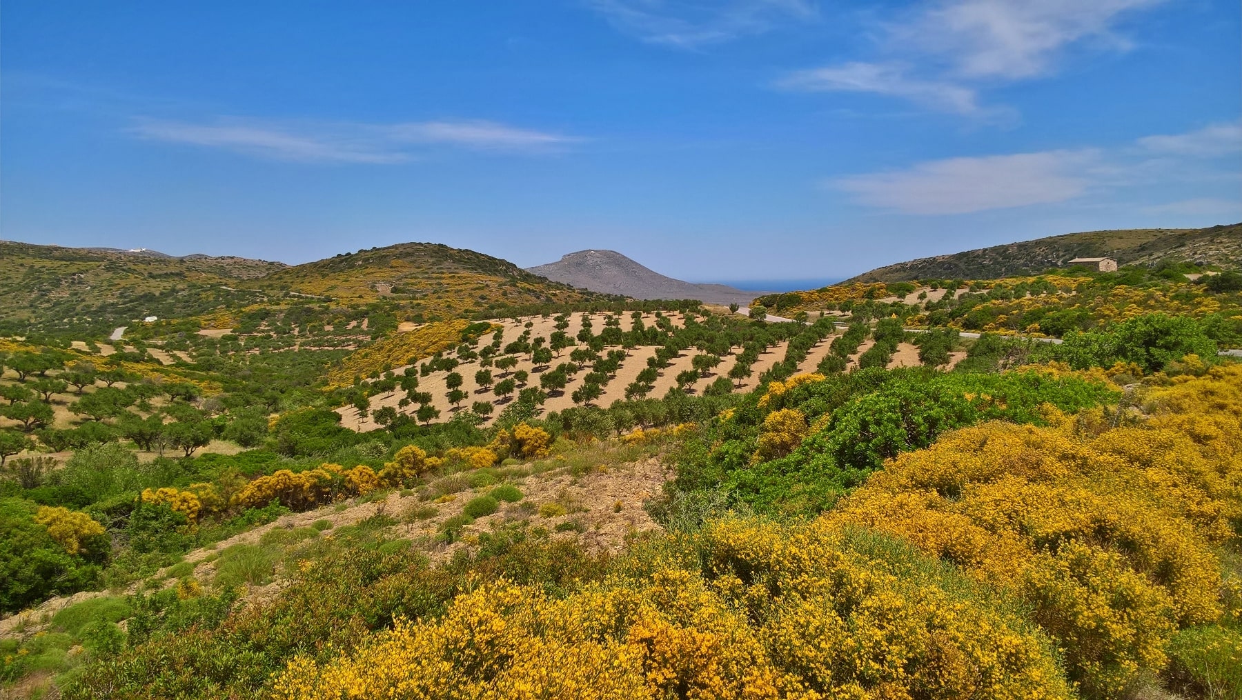
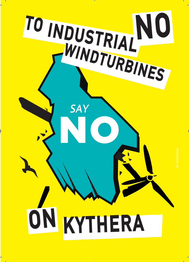

WIND TURBINES ON KYTHIRA
INFORMATION • BACKGROUND • ISSUES
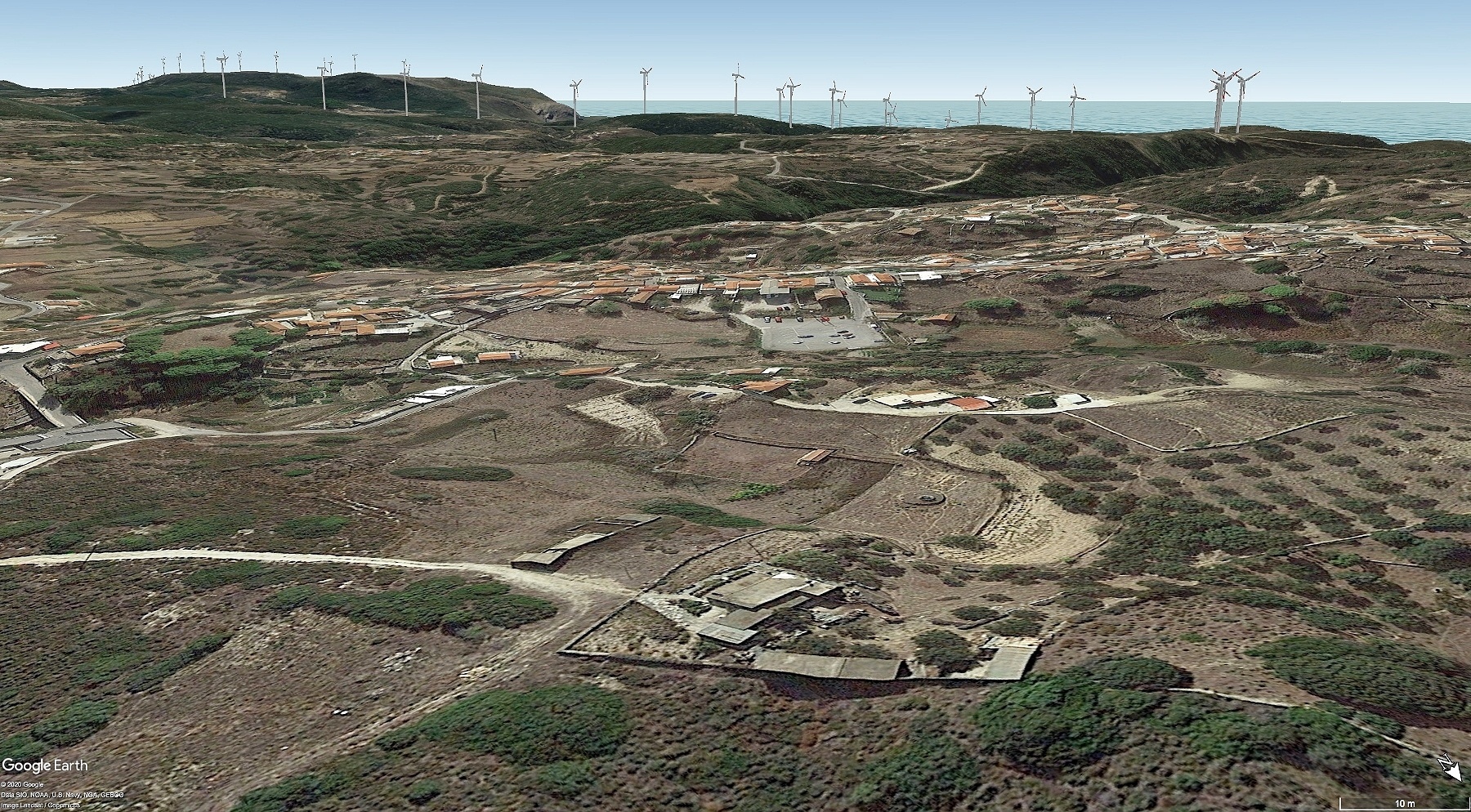
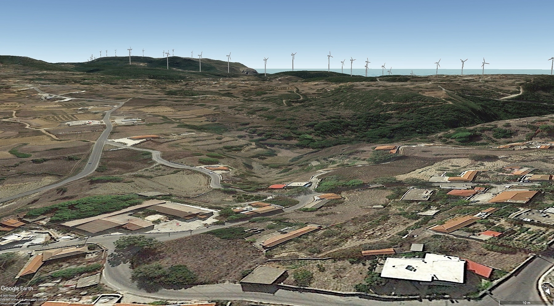
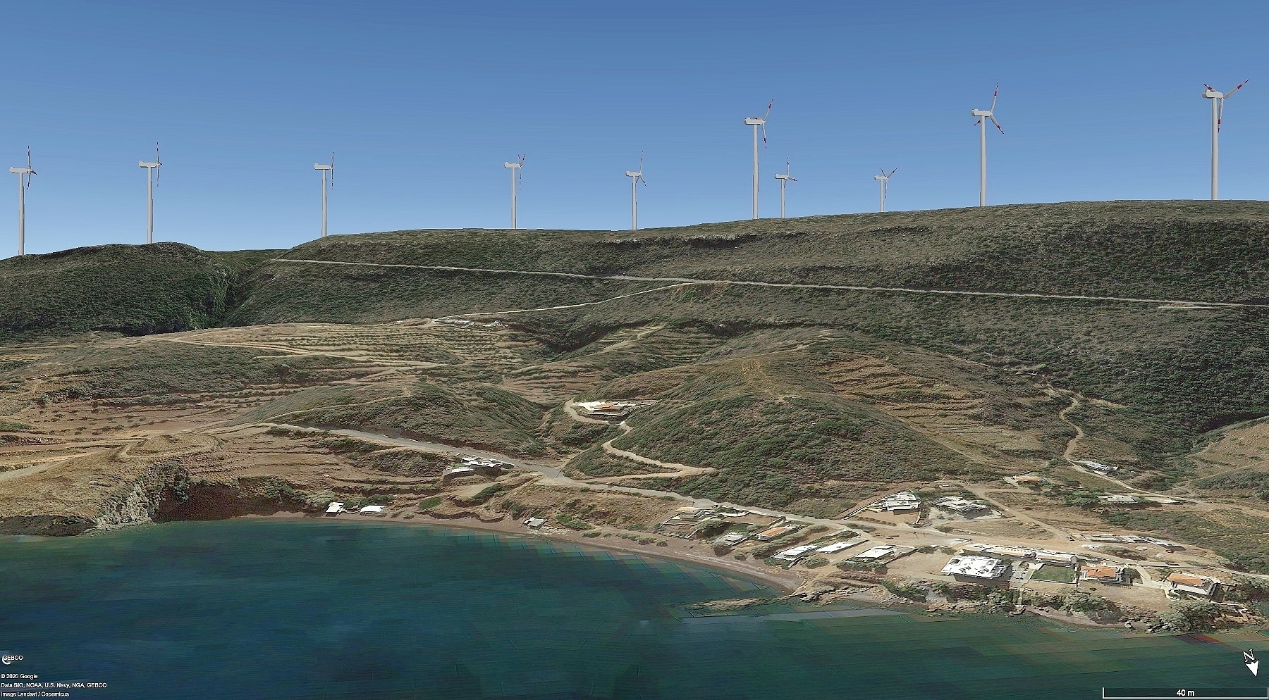
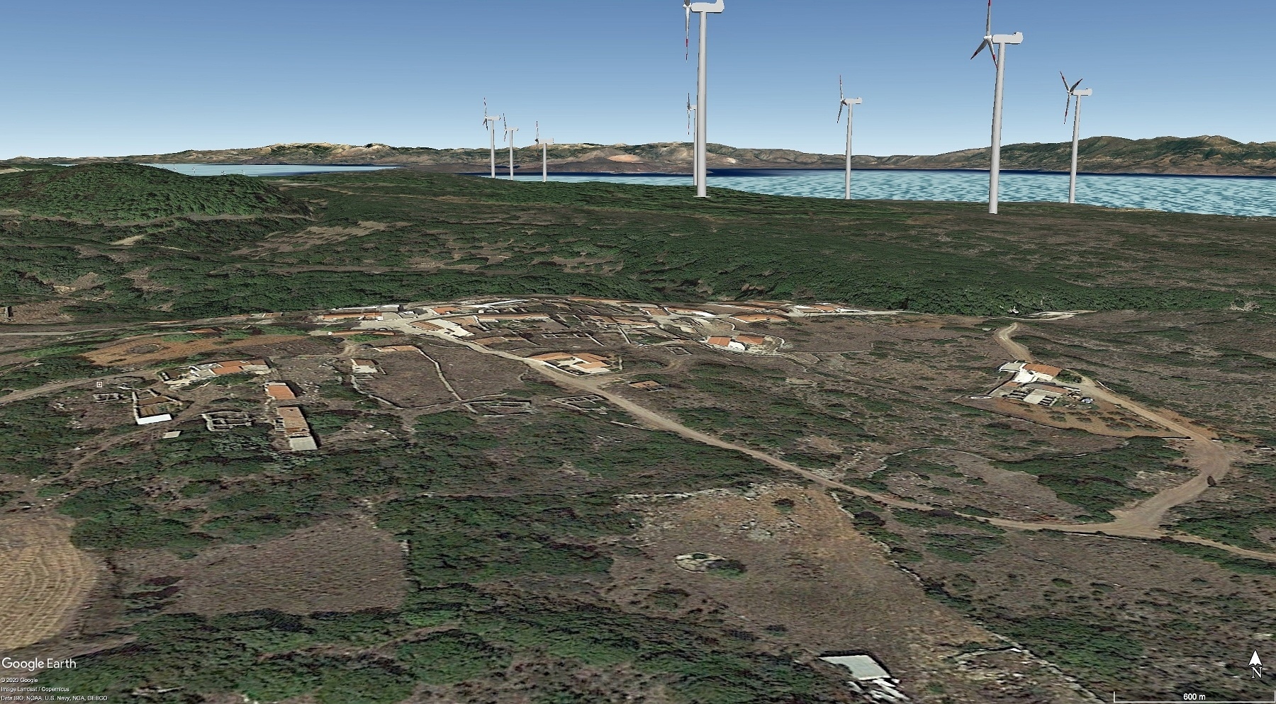
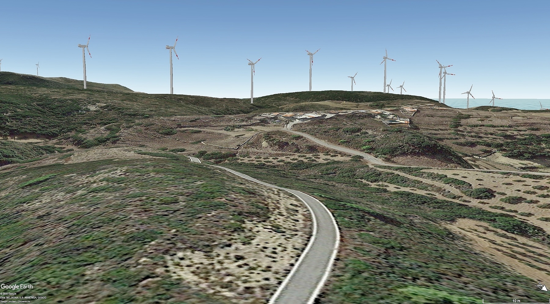
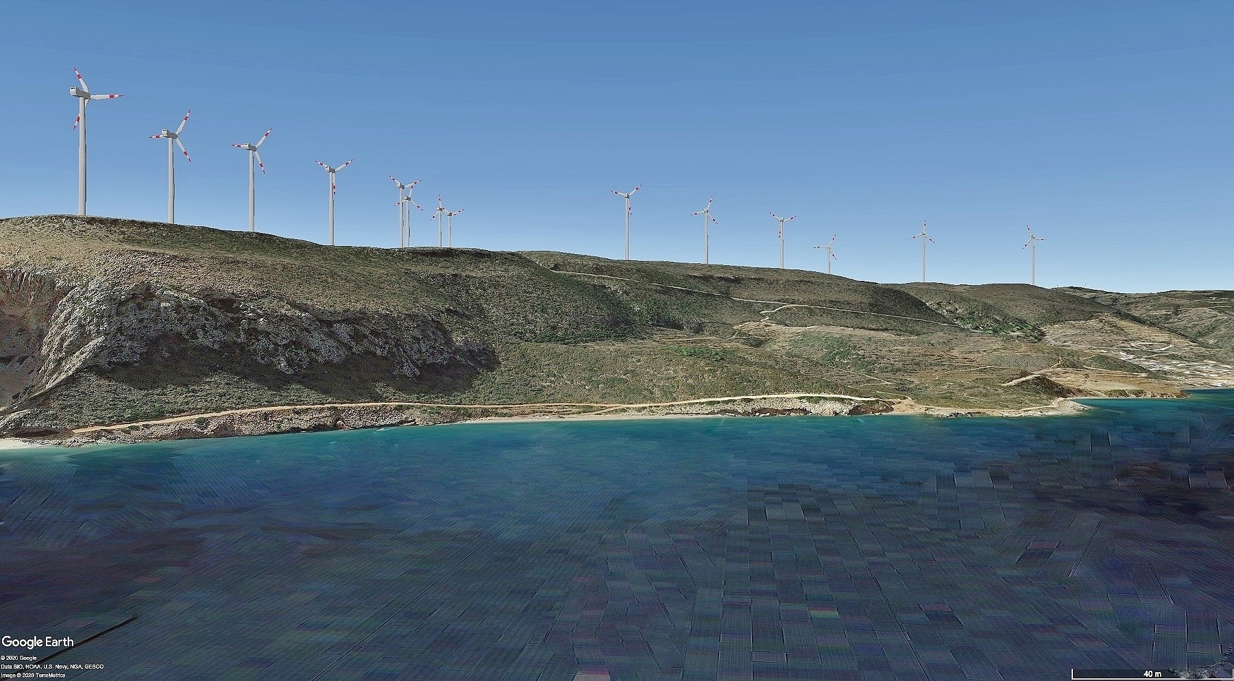
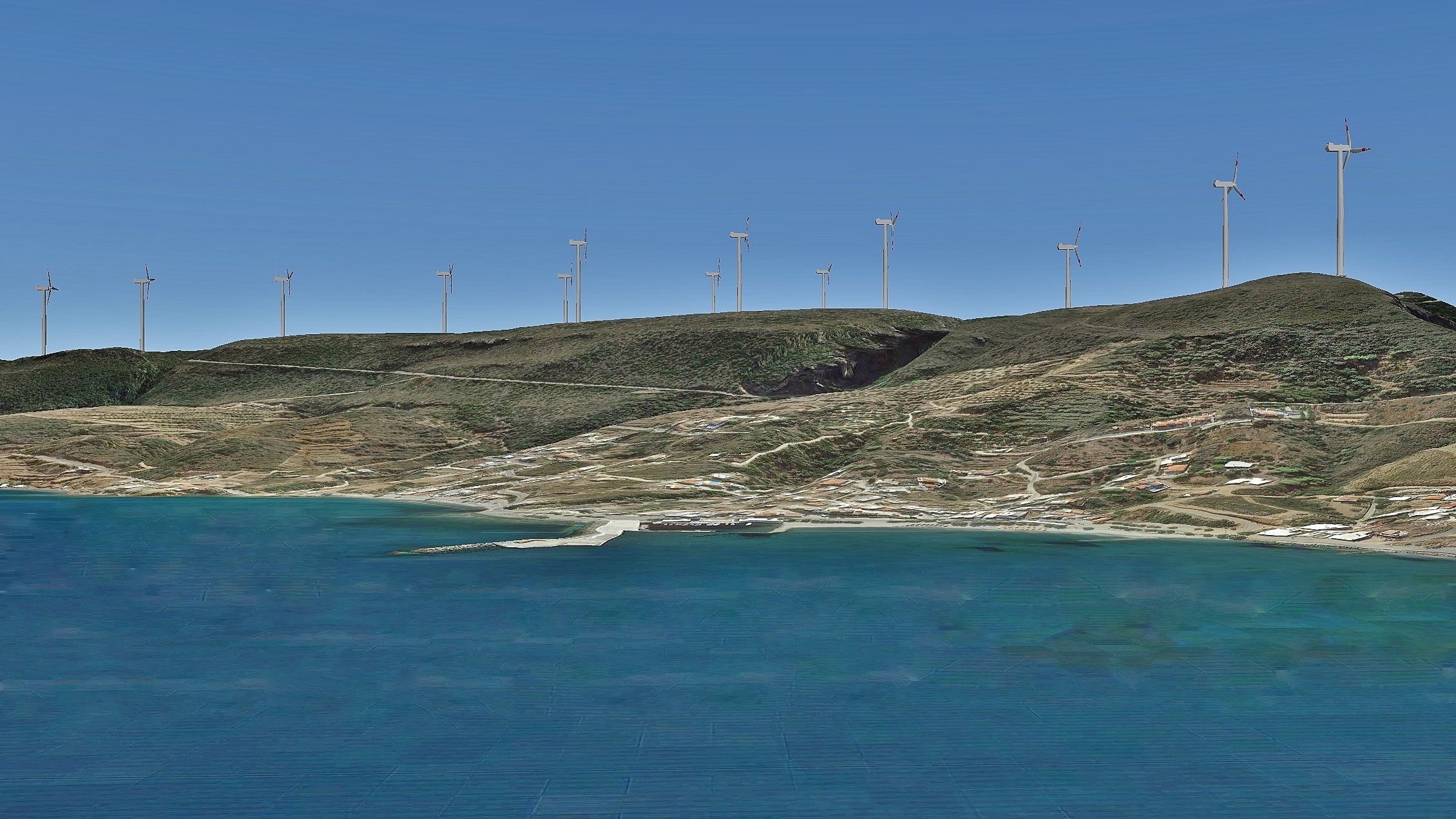
Below you will find a gallery with videos and images of the proposed wind parks from various locations on the island. Both were made using a special software* in combination with Google Earth. Depending on the angle on groundlevel the image can sometimes be somewhat distorted, but the wind turbines are shown on the correct scale and the shots give an excellent impression of how the actual situation is going to be.
The two parks in the north, between Gerakari and Routsounas are still in the application phase but the production licenses are expected to be issued soon.
* Windy Software – virtual-3d-animated-wind-turbine-in-google-earth
VIDEOS
Round the island long
Three parks between Stavli, Mylopotamos and Kalokairines
From Agia Pelagia to Kakia Lagada
From Kakia Lagada to Agia Pelagia
Park between Potamos - Tryfilianika - Agia Pelagia
Two parks between Gerakari and Routsounas beach
From the South
Round the island short
IMAGES
Hoover the image to see the location and click to enlarge.
From Potamos towards the south-west
From Potamos towards the south-west
From Logothetianika towards the west
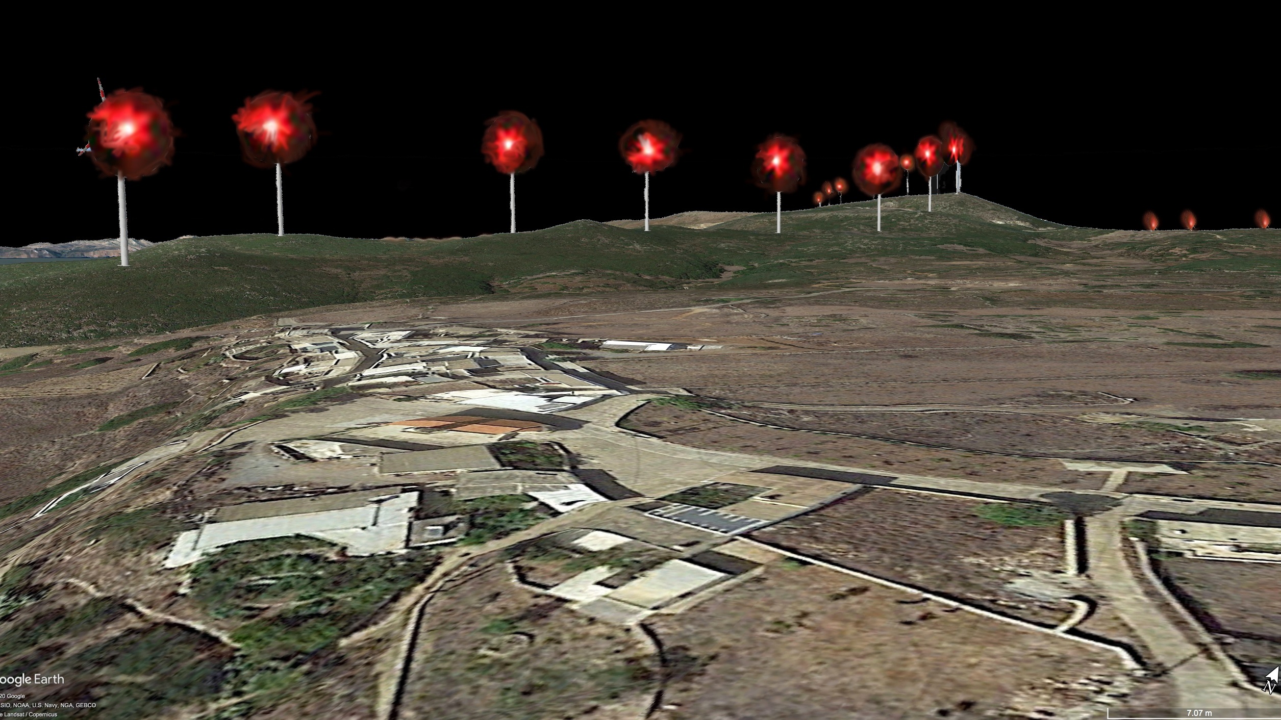
Night time view from Kalokairines
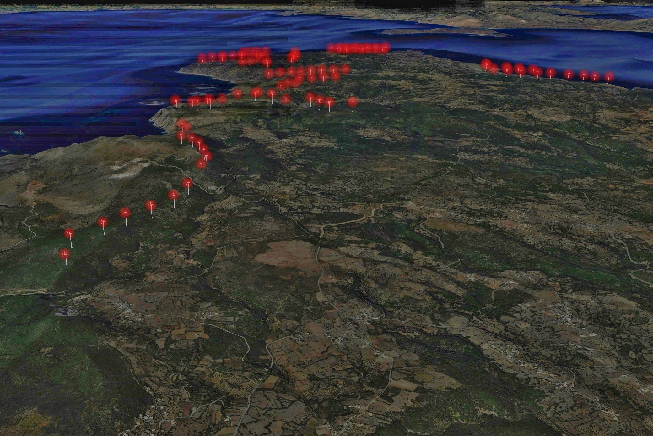
Night time view of all the parks
From Drymonas towards Mylopotamos
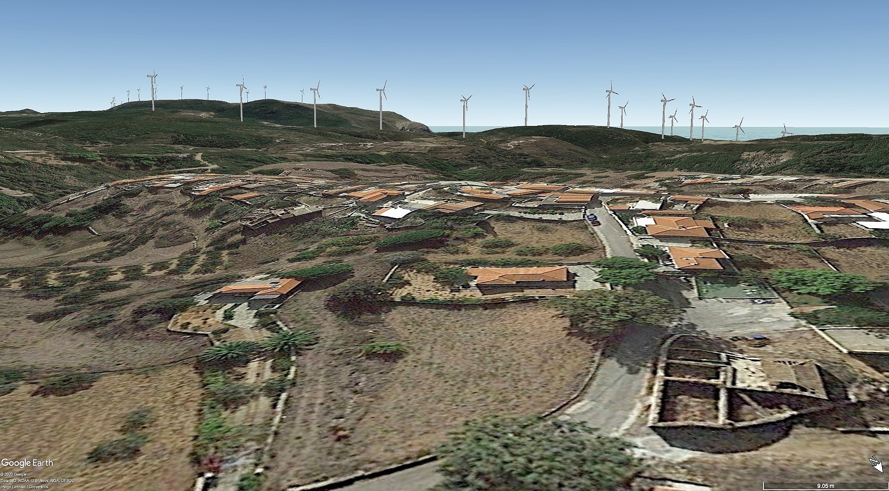
From the east towards Agia Pelagia
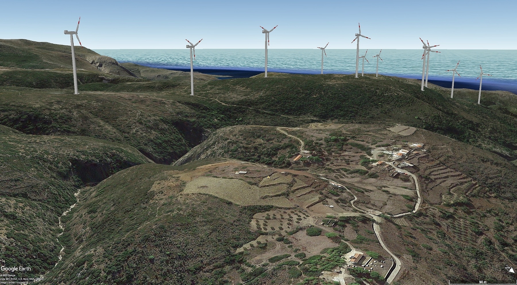
From the north-east towards Dourianika
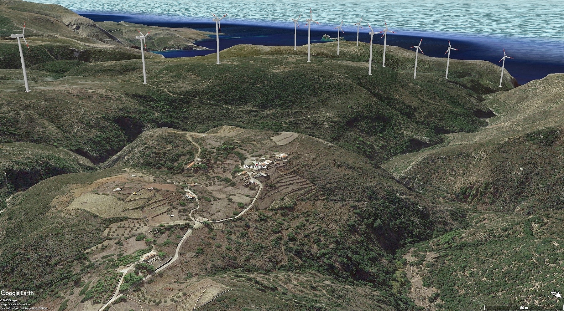
From the north-east towards Dourianika
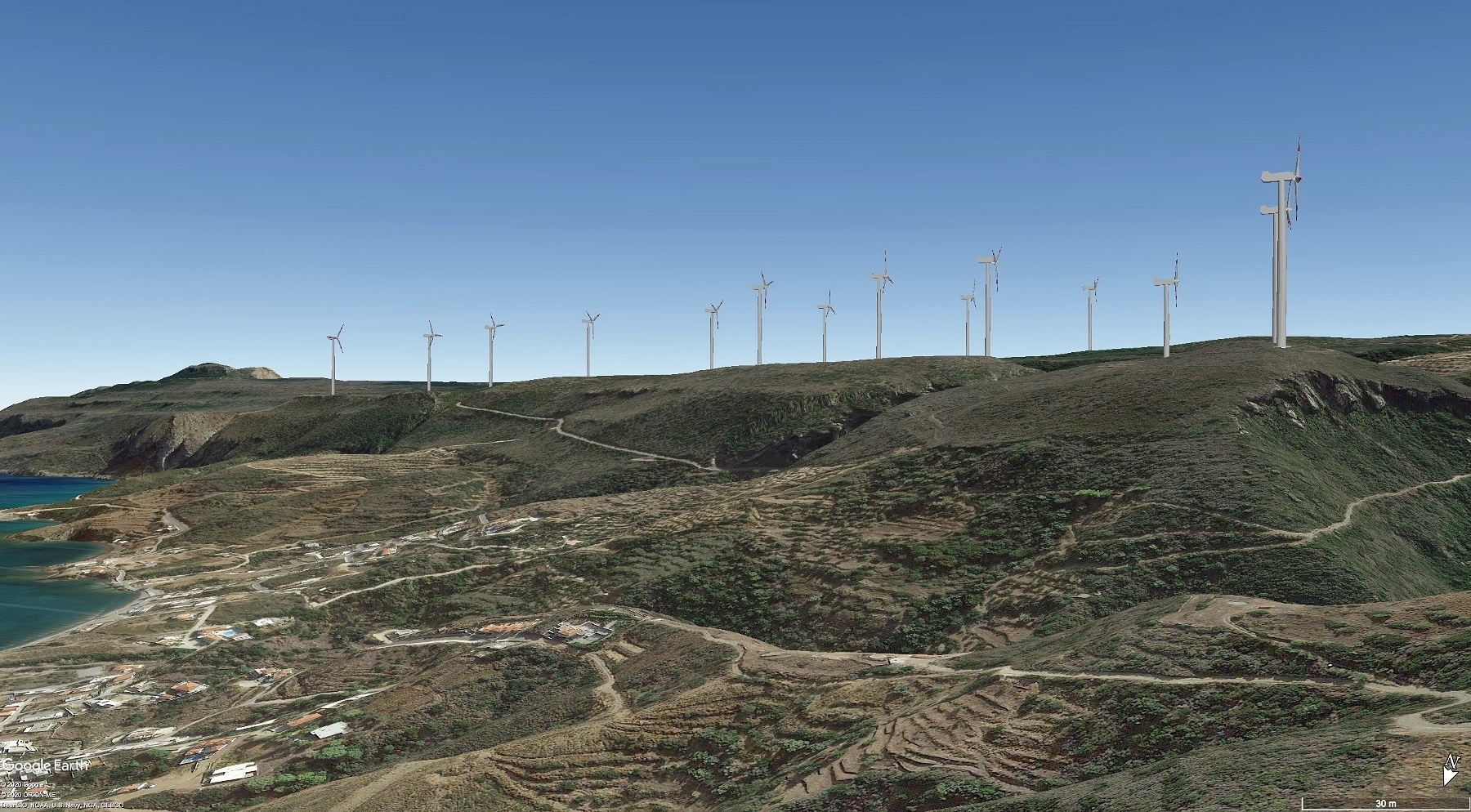
From the north towards Agia Pelagia
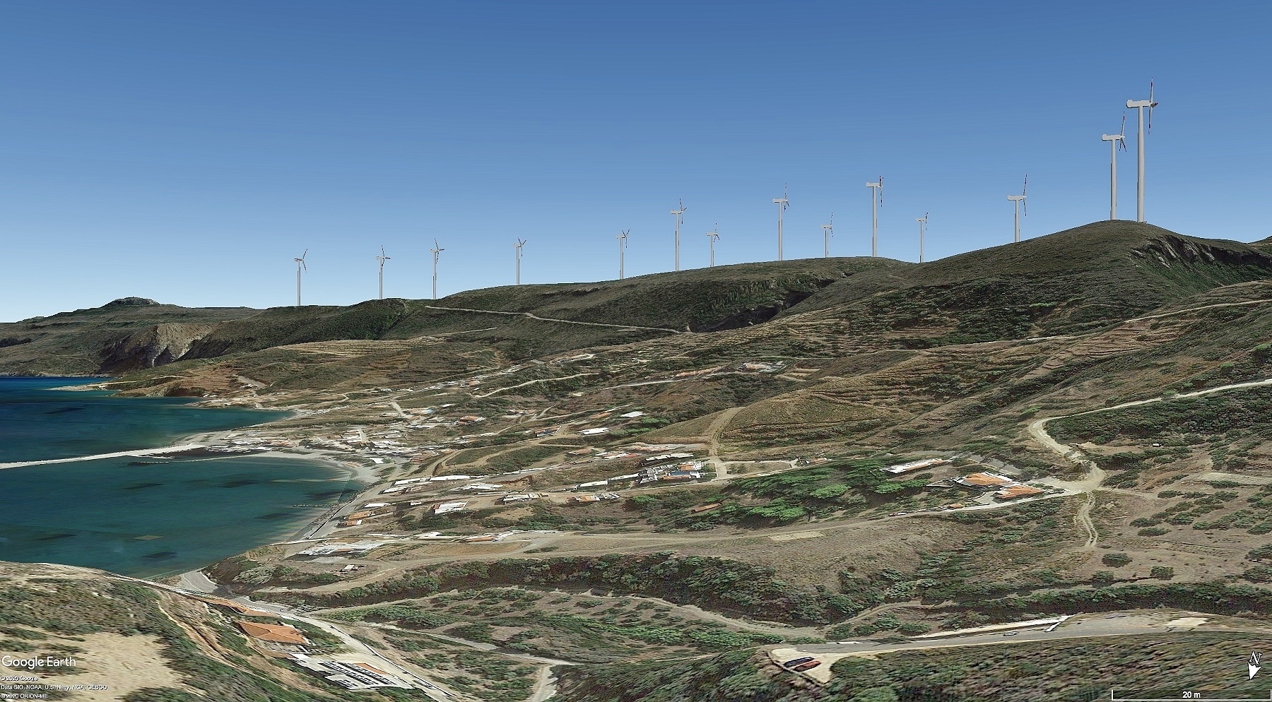
From the north towards Agia Pelagia
From Pitsinades towards the south-west
From the north towards Tryfillianika and Agia Pelagia
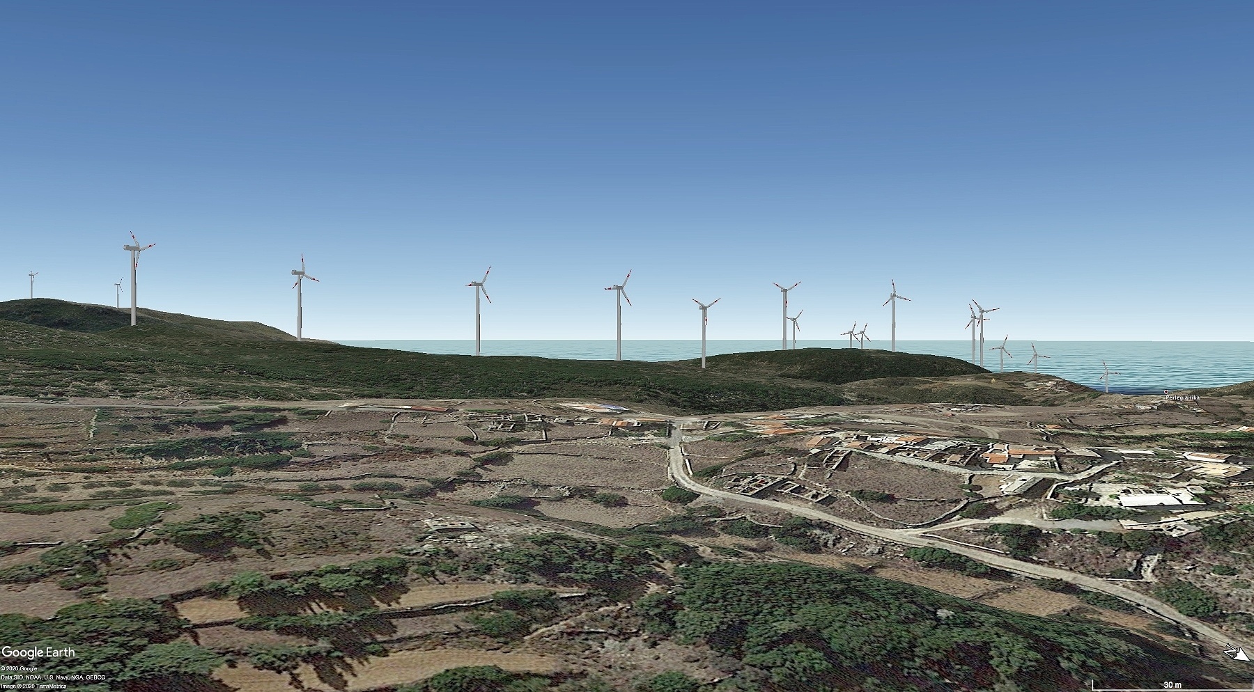
From the east towards Perlengianika
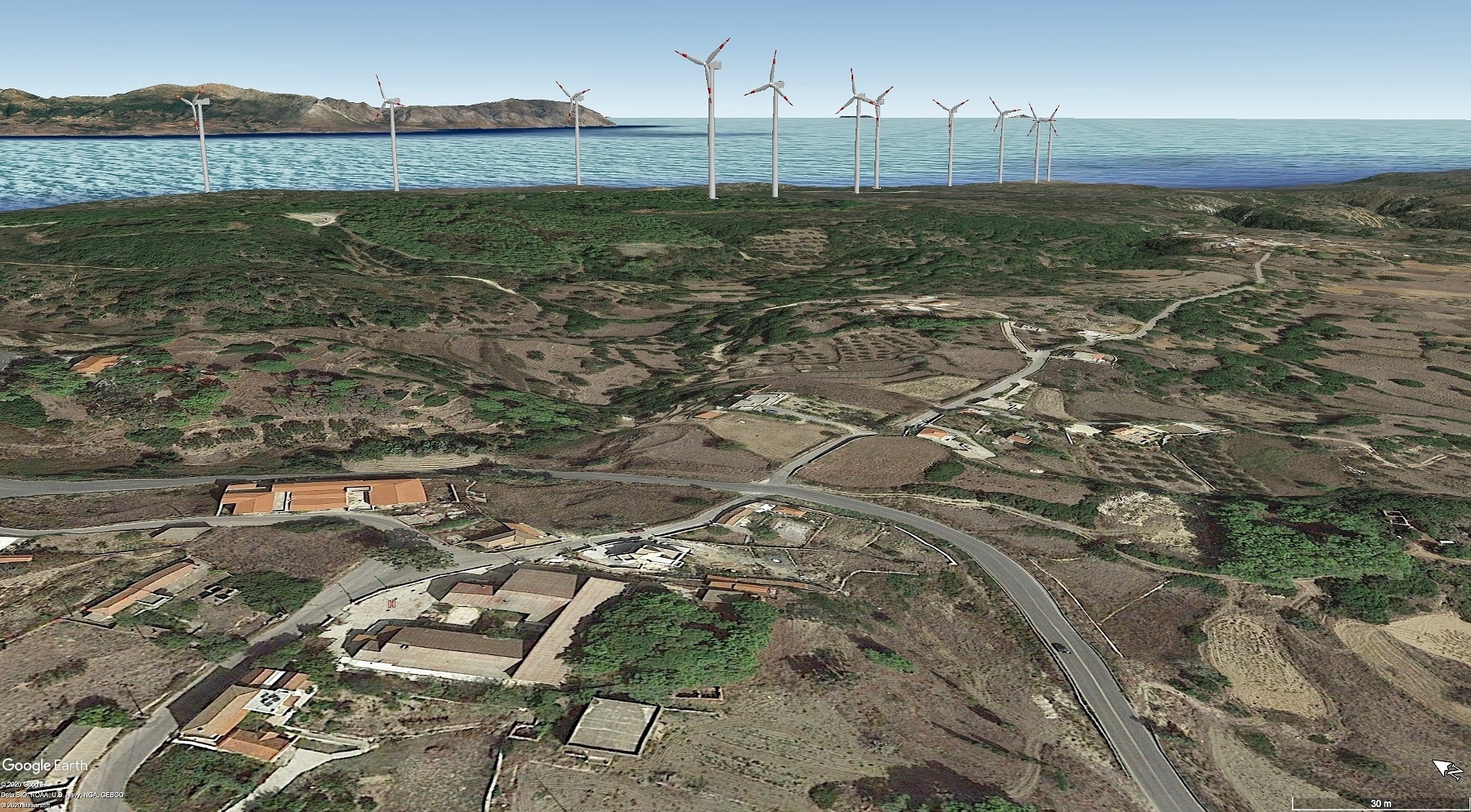
From the Potamos towards the west (Tryfillianika and Agia Pelagia)
From the east towards Fyri Ammos beach (Agia Pelagia)
From the east towards Agia Pelagia